OUR SERVICES INCLUDE:
- Drone Mapping & Surveys
- Geospatial Intelligence
- Spatial Data Analytics & Modelling

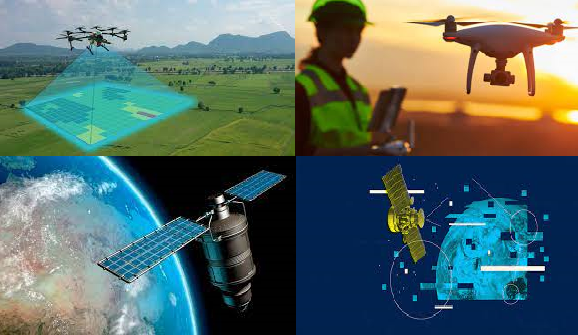
Kartgis Geospatial Solution, an indigenous Geospatial Services and Drone Mapping company. We believe in the potential of geospatial and allied technologies and leverage them to solve development problems. We ease the data gap by providing professional services in Drone Mapping, Geospatial Intelligence, Satellite image acquisition and Analysis, Spatial Data Infrastructure, Data Collection, Analysis and Insights, Spatial Data Analytics and Modelling, Business Intelligence and Market Fit Analysis among other applications.
To enable effective and efficient decision making with respect to planning, design and urban development via access to real time data solutions.
Our Mission is to provide novel and innovative solutions using drones, GIS and Artificial Intelligence in data collection, analysis and visualization.
Lorem ipsum dolor sit amet consectetur adipisicing elit. Saepe asperiores adipisci doloremque odio quod? Lorem ipsum dolor sit amet consectetur adipisicing elit. Saepe asperiores adipisci doloremque odio quod,adipisicing elit. Saepe asperiores adipisci doloremque odio quod?..


Lorem ipsum dolor sit amet, consectetur adipisicing elit. Nobis sapiente
info@consectetur.com
09010000000