OUR SERVICES INCLUDE:
- Drone Mapping & Surveys
- Geospatial Intelligence
- Spatial Data Analytics & Modelling

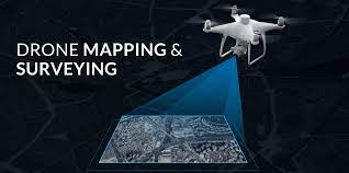
As a company specialized in Planning, mapping, remote sensing and photogrammetry, we provide a wide range of geospatial services ranging from product training, flying training, data collection, data analysis support (post processing) and consultancy. Our process ensure that end products derived from the UAV flight allows for high quality, orthogrammetry and photogrammetry to provide reliable scientific outputs or survey mapping.


Lorem ipsum dolor sit amet consectetur adipisicing elit. Saepe asperiores adipisci doloremque odio quod? Lorem ipsum dolor sit amet consectetur adipisicing elit. Saepe asperiores adipisci doloremque odio quod, adipisicing elit. Saepe asperiores adipisci doloremque odio quod?..


Lorem ipsum dolor sit amet, consectetur adipisicing elit. Nobis sapiente
info@consectetur.com
09010000000